Maps & Illustrations
Showing 25–36 of 36 results
-

Atlas Of The State Of Ohio
Second Edition $750.00 Add to cart -
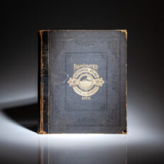
Illustrated Historical Atlas Of The State of Indiana
First Edition $750.00 Add to cart -

The History Of The Campaigns In The Years 1796, 1797, 1798, and 1799, In Germany, Italy, Switzerland, &c.
Second Edition $850.00 Add to cart -

The Memoirs Of Cap. George Carleton, An English Officer – Who served in the two laft Wars against France and Spain, and was present in several Engagements bot in the Fleet and Army
Second Edition $575.00 Add to cart -
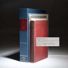
The Artilleryman
First Edition $2,400.00 Add to cart -
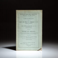
The Battles Of “Gravelly Run,” “Dinwiddie Court-House,” And “Five Forks,” VA., 1865. Argument On Behalf Of Lieut. Gen. Philip H. Sheridan, U.S.A.
First Edition $650.00 Add to cart -

Through Central Borneo
First Edition $350.00 Add to cart -

Historical Atlas Of The World [Wood County Ohio] – Illustrated. Giving Histories And Maps Of All The Countries In Their Geographical, Statistical and Commercial Aspects. Together with a Complete History of the Original Surveys of the United States, With a Special Map Showing Lands Surveyed by Government. Constructed by A. Keith Johnston F.R.G.S., Professor H.D. Rogers of Boston, Edw. Weller F.R.G.S., and other Eminent Geographers.
First Edition $975.00 Add to cart -
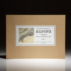
The Spot Marked Alpine: A Story of Names, Mountains, & Men
Limited Edition $175.00 Add to cart -

Travels To The West Of The Mountains, In The States Of Ohio, Kentucky, And Tennessea – And Back To Charleston, By The Upper Carolines; Comprising the Most Interesting Details on the Present State of Agriculture, and the Natural Produce of those Countries
Second English Edition $525.00 Add to cart -

Notes On The State Of Virginia
First English Edition $6,800.00 Add to cart -

Travels, or Observations Relating To Several Parts of Barbary and the Levant
First Edition $1,800.00 Add to cart
Showing 25–36 of 36 results
