Description
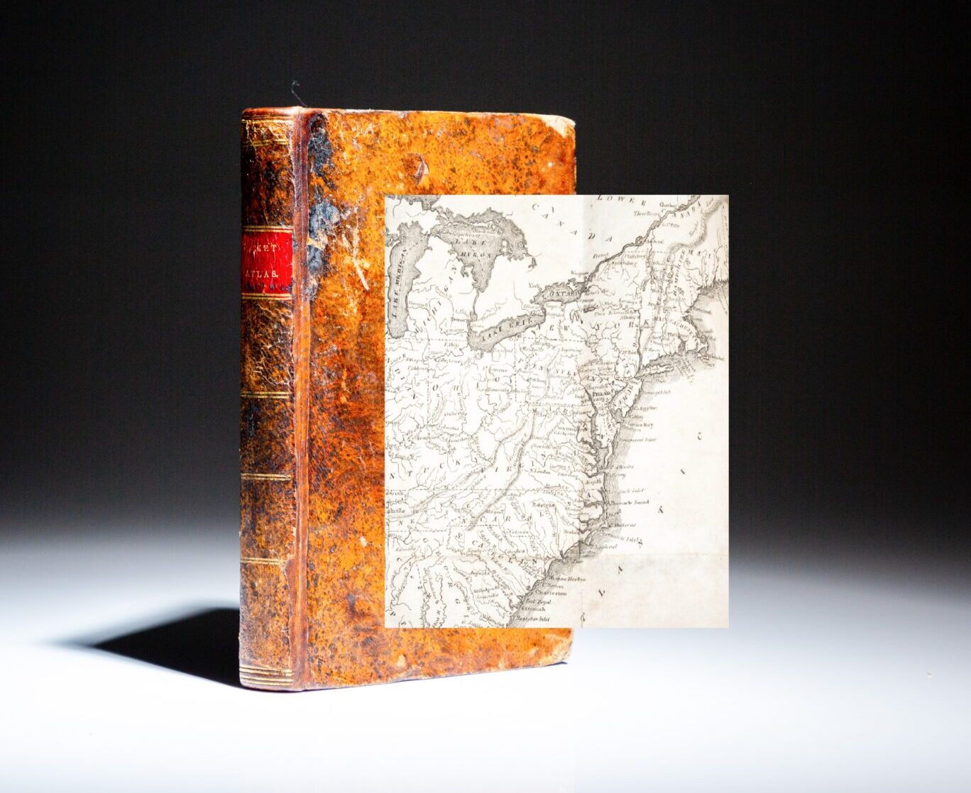
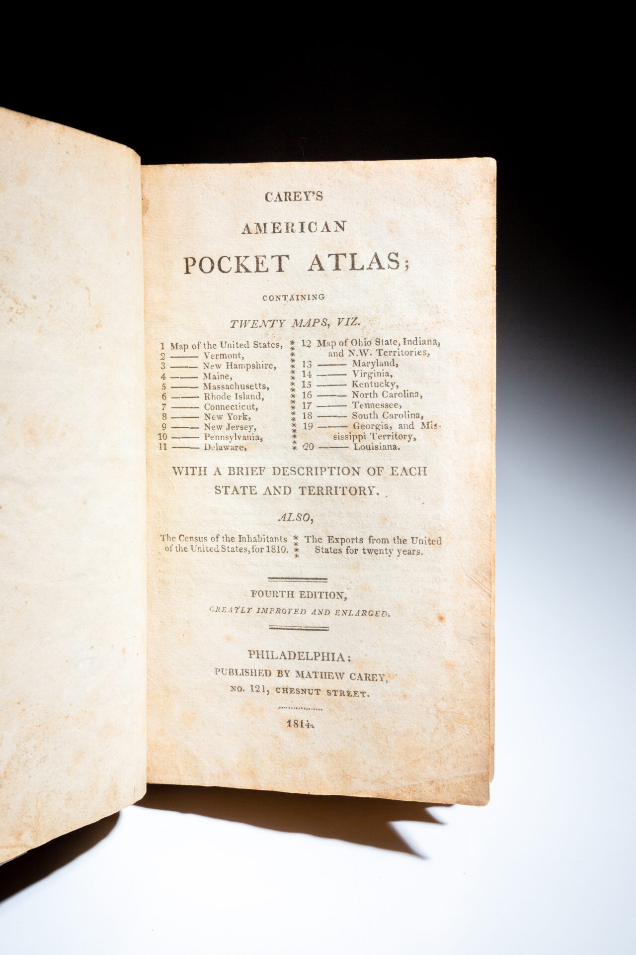
Carey’s American Pocket Atlas, printed in 1814, fourth edition, greatly improved and enlarged, with twenty-three individual maps.
Twelvemo, iv, 168pp. Full period mottled calf, rebacked with original spine laid down, title in gilt on spine over original red leather label, gilt ruled bands. Solid text block. Points of toning to text, clean plates throughout. Light rubbing to lower boards.
(Howes C137) (Sabin 10856) (Phillips 1370)
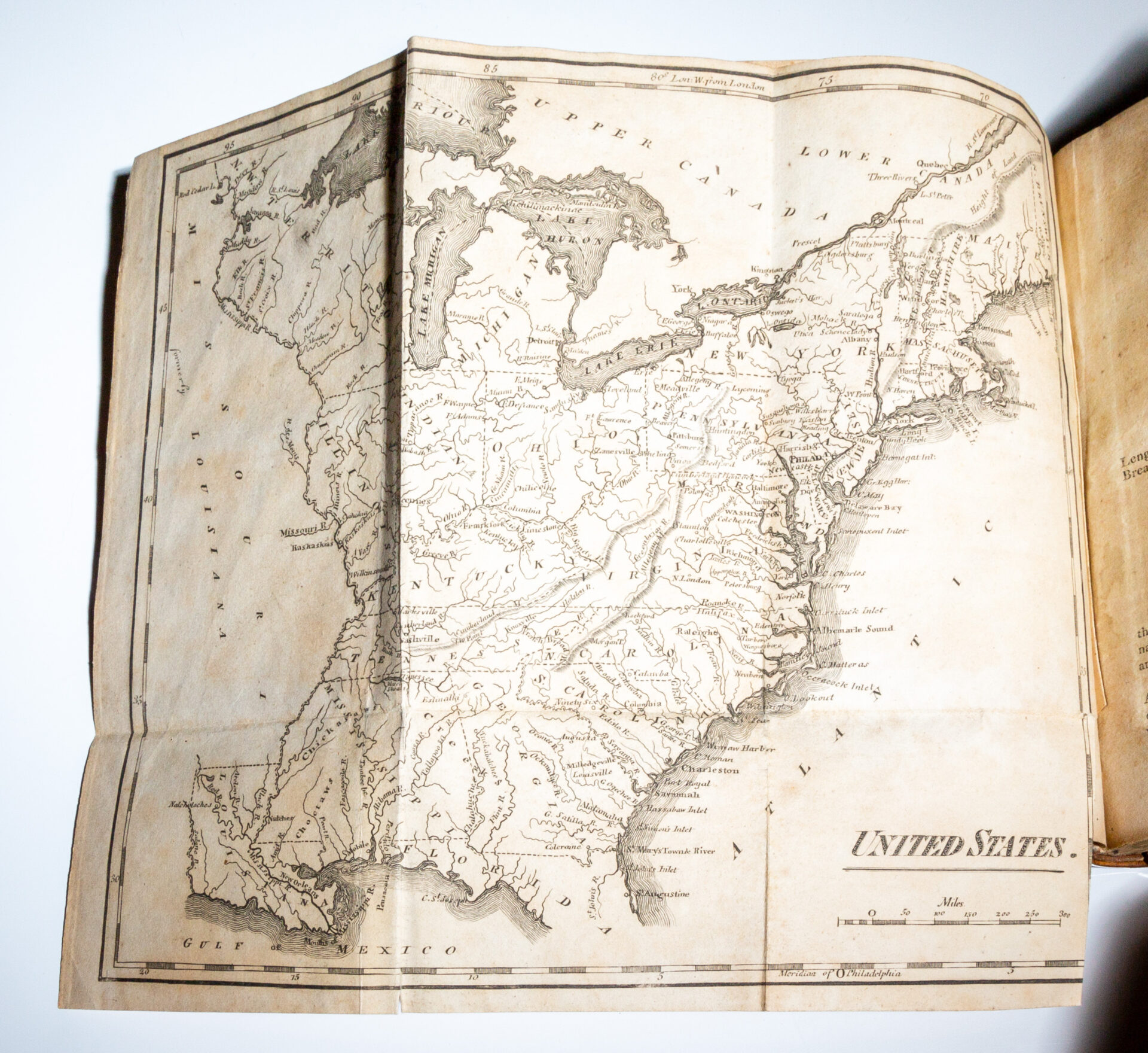
This copy is complete with 23 maps, and two fold-out tables.
This complete work includes the following maps: a folding map of the United States, Vermont, New Hampshire, Maine, Massachusetts, Rhode Island, Connecticut, New York, New Jersey, Pennsylvania, Delaware, Ohio, Upper Territories of the United States, Maryland, Virginia, Kentuckey [sic], North Carolina, Tennessee, South Carolina, Georgia, Mississippi Territory, Louisiana and Missouri Territory formerly Louisiana.


