Description
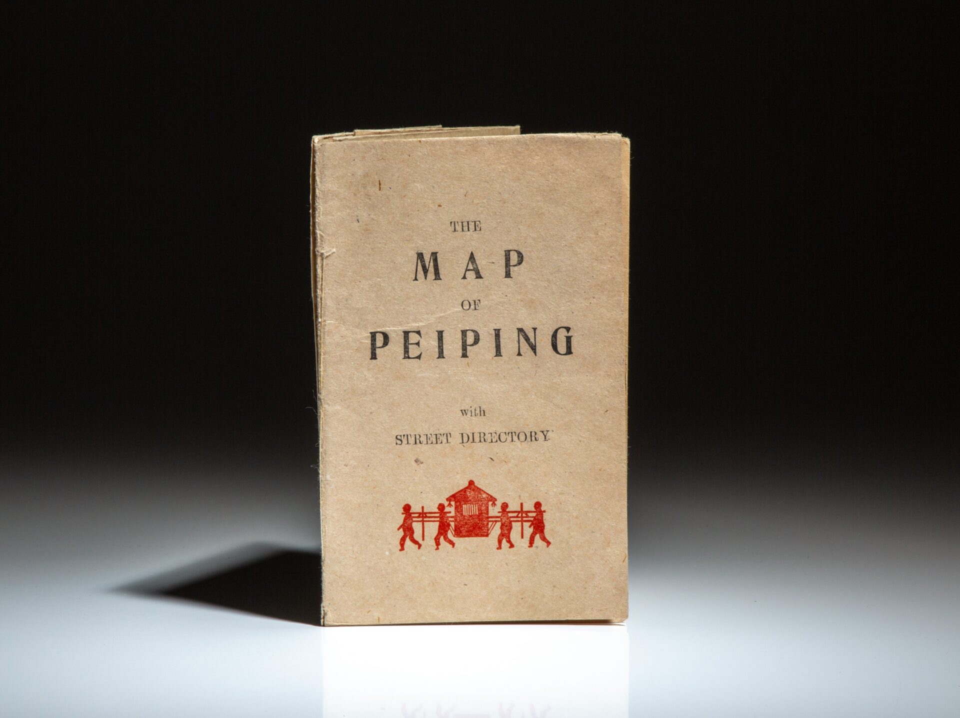
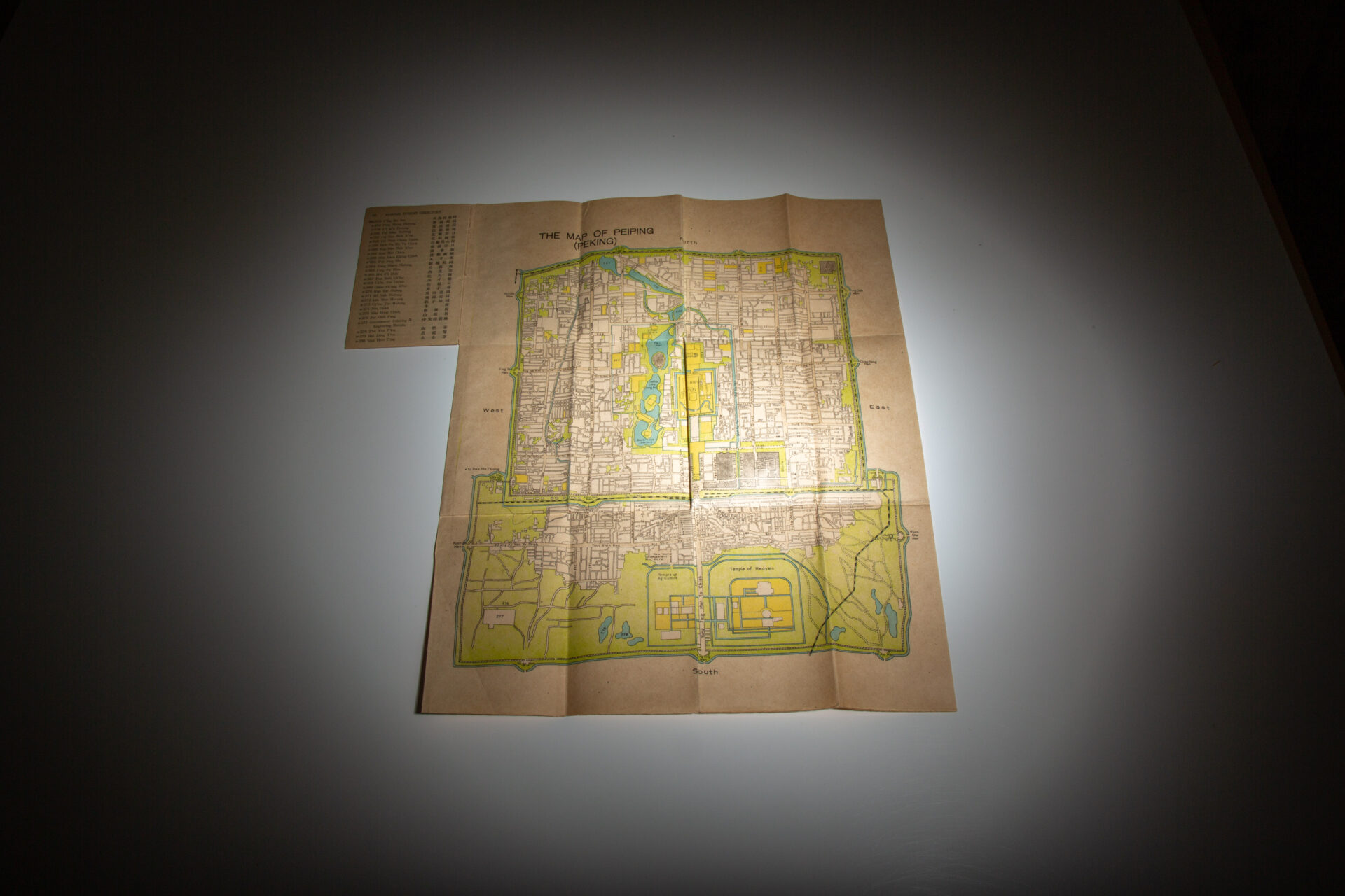
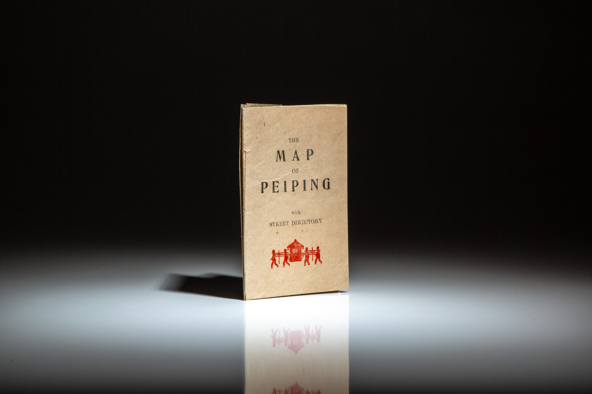
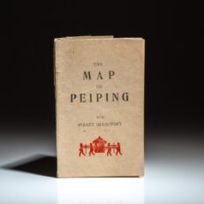
The Map of Peiping With Street Directory, published in the mid-1930’s for English tourists in present day Beijing, China.
Twelvemo, 10pp, [fold-out map], [1]. Map is undated, no publisher stated. In the publisher’s original wraps. Foldout street map of Peiping (Peking) China, text in English, colored with detail of historic sites. Includes 280 numbered sites in the directory. Foldout map measures 38cm x 47cm. This map depicts the Imperial City and the Forbidden City, with text and street names in English. OCLC locates no maps with this size and pagination.
Commonly attributed to The Science Press and was distributed by Lynn’s Christian Book Store in Peiping (Beijing, China).

